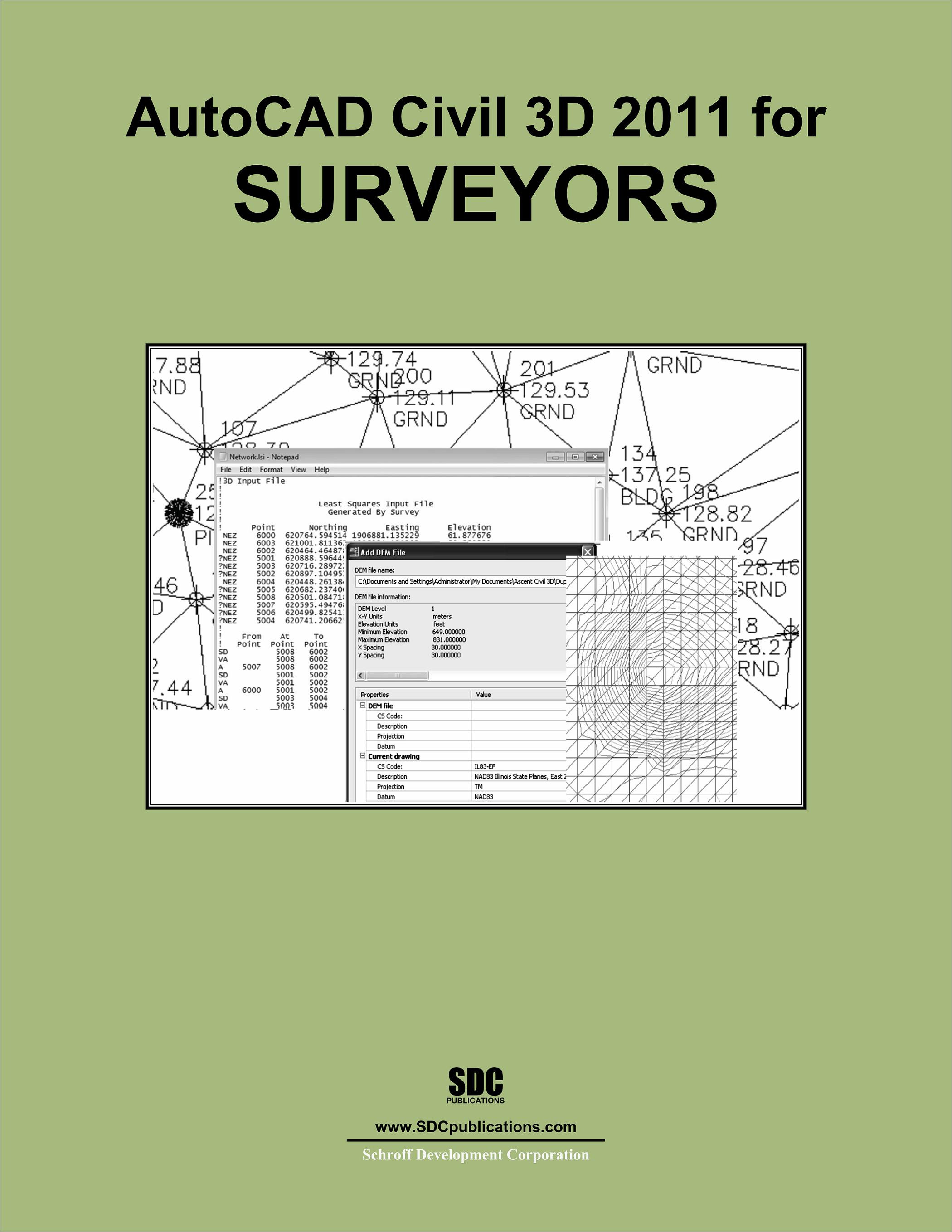
AutoCAD Civil 3D 2011 for Surveyors
- Description
- Contents
- Details
Description
Key Features
- Designed specifically for survey students learning AutoCAD Civil 3D
- Covers the tools and workflows typically used by surveyors
- Includes end of the chapter review questions
In Detail
AutoCAD Civil 3D 2011 for Surveyors is an in-depth textbook intended for students, surveyors and survey technicians that do not necessarily need all of the functionality that is taught in other AutoCAD Civil 3D textbooks. This book will equip your students with the basic knowledge need to use Civil 3D efficiently in a typical daily work flow for a surveyor.
Your students will learn how to import the converted field equipment survey data into a standardized environment in Civil 3D and to use the automation tools to create an Existing Condition Plan. Data collection, least square analysis, and traverses are also covered.
Other topics that help in increasing efficiency include styles, proper AutoCAD drafting techniques, the methodology needed to create linework effectively for variables used in defining symbology, surfaces, categorizing points, and importing imagery.
Topics covered:
- The AutoCAD Civil 3D interface
- Points overview and styles
- Importing points and coordinate transforms
- Creating points and drafting
- Point groups, grips, and reports
- Point security editing
- Introduction to data collection in the field
- Introduction to Civil 3D Survey and automated linework
- Survey networks
- Survey Least Squares analysis
- Traverses and their adjustment
- Traverse Loop and Closed Connected Loop adjustments
- Surface overview
- Surface editing
- Surface labels and analysis
Table of Contents
- The AutoCAD Civil 3D interface
- Survey Level 1
- Civil 3D Survey Toolspace
- Civil 3D Points
- Civil 3D Figures
- Survey Level 2
- Survey Workflow
- Prepare for Survey Data
- Obtain and Create Survey Data
- Adjust, Analyze and Output Survey Data
- Surfaces Level 1
- Civil 3D Surface Overview
- Civil 3D Surface Editing
- Civil 3D Surface Labels and Analysis
