AutoCAD Civil 3D 2010 Essentials
- Description
- Contents
- Details
Description
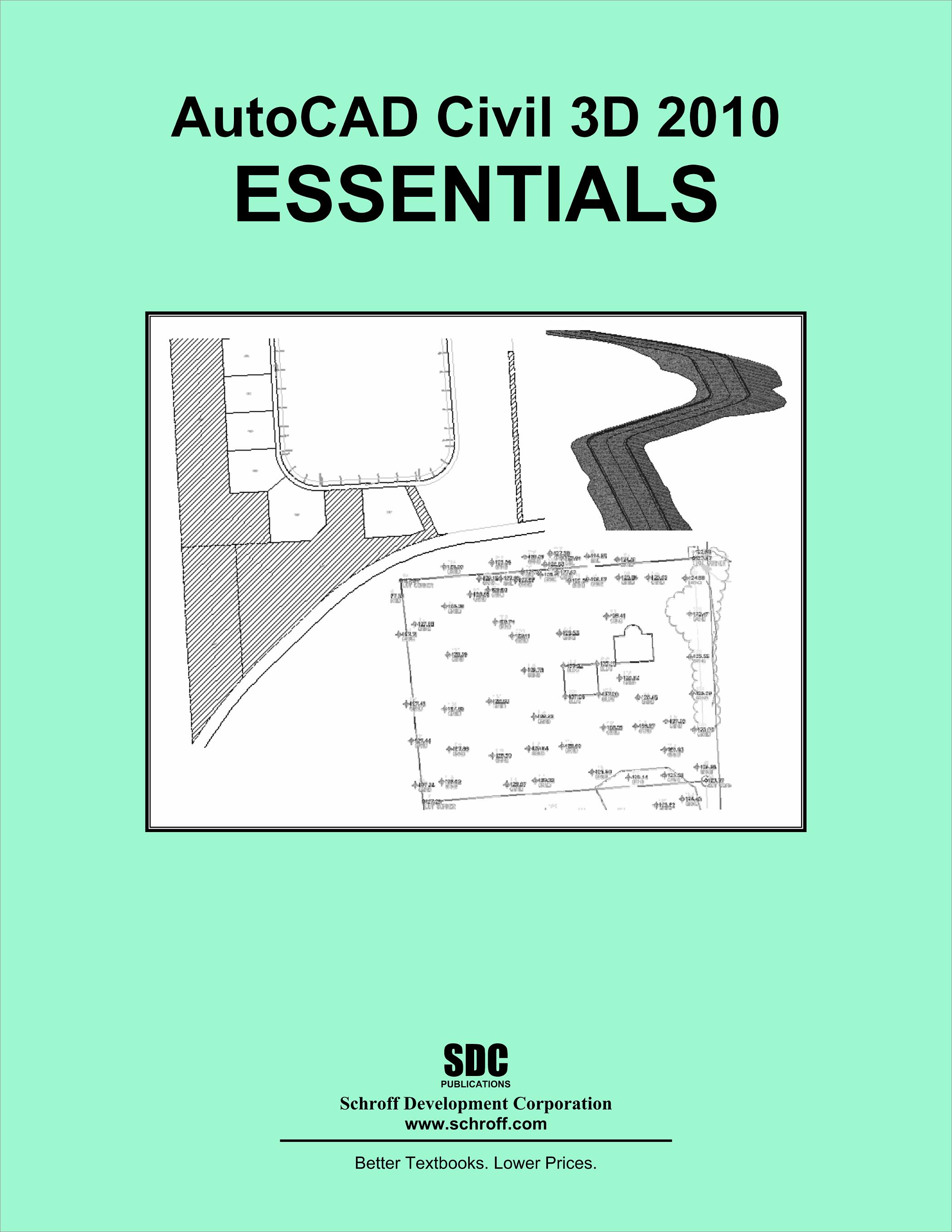
AutoCAD Civil 3D 2010 Essentials is designed for students, Civil Engineers and Surveyors who want to take advantage of AutoCAD Civil 3D's interactive, dynamic design functionality. AutoCAD Civil 3D permits the rapid development of alternatives through its model-based design tools. You will learn techniques enabling you to organize project data, work with points, create and analyze surfaces, model road corridors, create parcel layouts, perform grading and volume calculations tasks, and lay out pipe networks.
In this textbook you follow a Civil Engineering project through the design process as closely as possible. The project work focuses on points, terrain modeling, light road design, parcel layout, grading, and utility layout for a subdivision project. This project type was selected because it encompasses many of the different tasks AutoCAD Civil 3D 2010 can accomplish. All the lessons in this book are tutorial in style.
This textbook focuses on teaching students the core tasks and workflows that are needed to successfully operate AutoCAD Civil 3D. This text is intended for all users of AutoCAD Civil 3D.
Upon completion of this textbook, students will be able to:
- Import data through AutoCAD LandXML and from an Autodesk Land Desktop Project.
- Create and manage Points and Point Groups
- Create, edit, view, and analyze surfaces
- Create parcels and parcel tables
- Create sites, create and edit alignments, and create profiles and cross-sections
- Create assemblies, corridors, and cross-sections, and calculate corridor volumes
- Create complex grading solutions
- Create pipe networks
Table of Contents
- The Civil 3D Interface and Project Structure
- Project Startup, Points and Survey Fieldbooks
- Surfaces
- Alignments and Profiles
- Assemblies, Corridors, and Sections
- Grading, Pipes and Production Tools
- Parcels Appendix