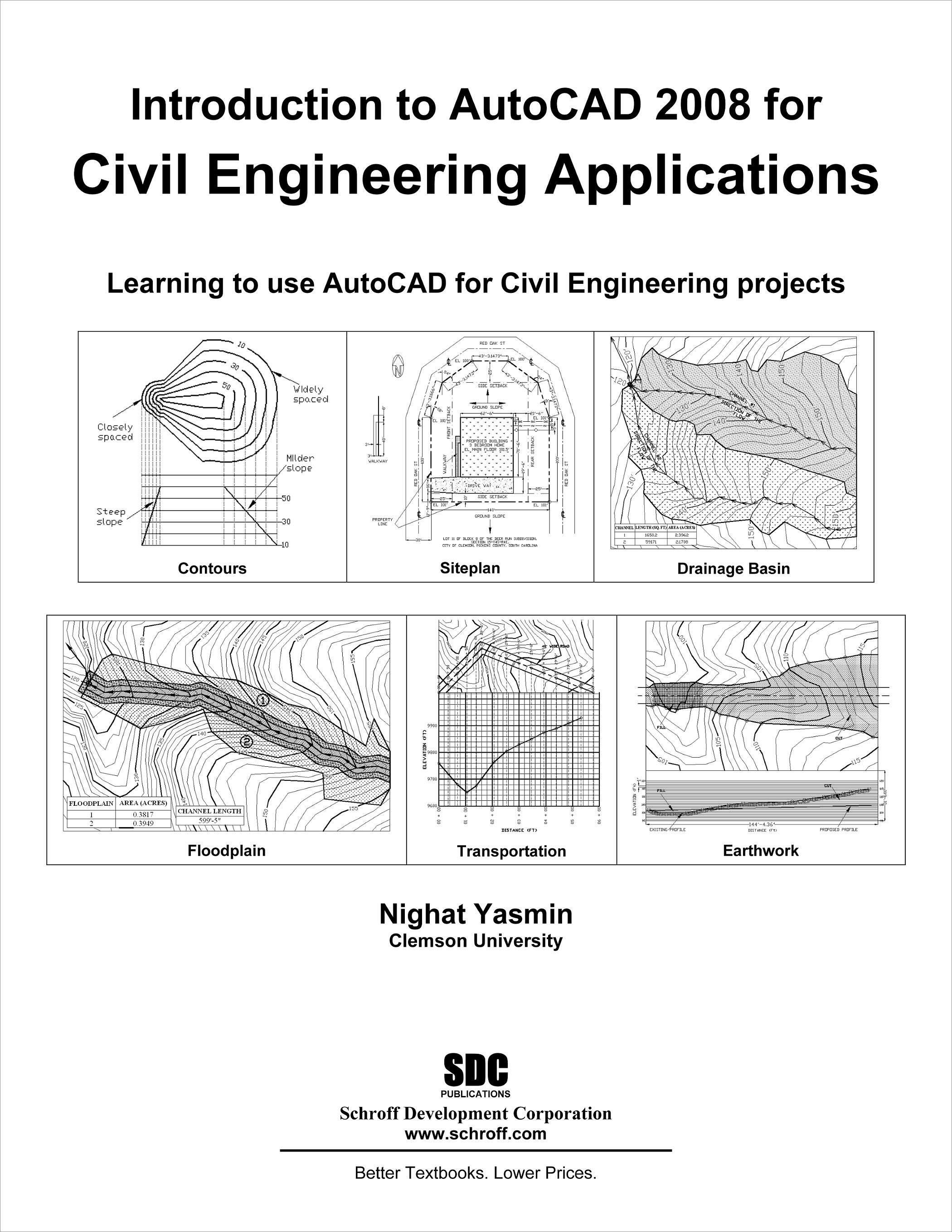
Introduction to AutoCAD 2008 for Civil Engineering Applications
Print Book
Out of Print
Beginner
353 Pages
Published September 1, 2008
ISBN: 978-1-58503-485-7
- Description
- Contents
- Details
Description
The main purpose of this book is to provide civil engineering students with a clear presentation of the theory of engineering graphics and the use of AutoCAD 2008. Each chapter starts with the chapter objectives followed by the introduction. The contents of each chapter are organized into well-defined sections that contain step-by-step instructions to carry out the AutoCAD commands. The drawings shown in this book are created using AutoCAD.
This book has bee categorized and ordered into five parts:
- Introduction to AutoCAD 2008
- AutoCAD and architecture technology
- Use of AutoCAD in land survey data plotting
- The use of AutoCAD in hydrology
- Transportation engineering and AutoCAD
Table of Contents
- Introduction to Engineering Drawing
- Getting Started with AutoCAD 2008
- Basics of 2-Dimentional Drawings
- Basics of 2-Dimentional Editing
- Layers
- Blocks
- Floor Plan
- Elevation
- Dimensioning Techniques
- Contours
- Siteplan
- Drainage Basin
- Floodplains
- Transportation
- Earthwork
Product Details
| Publisher | SDC Publications |
| Authors | Nighat Yasmin Ph.D. |
| Media Types | Print Book |
| Primary Languages | English |
| Published | September 1, 2008 |
| User Level | Beginner |
| Pages | 353 |
| Binding | Paperback |
| Printing | Black and White |
| Print ISBN | 978-1-58503-485-7 |
| Print ISBN 10 | 1585034851 |


